Live talks
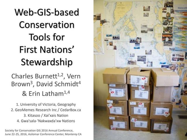
Presented at the Society for Conservation GIS Conference in Monterey, CA, USA
Discusses the integration of web-based GIS tools for conservation and resource management by First Nations in British Columbia. It emphasizes the importance of combining traditional ecological knowledge with Western science and highlights various operational requirements and potential applications for ecosystem-based management. Additionally, it provides insights into the necessary technological tools and platforms to support mapping, data collection, and community engagement.
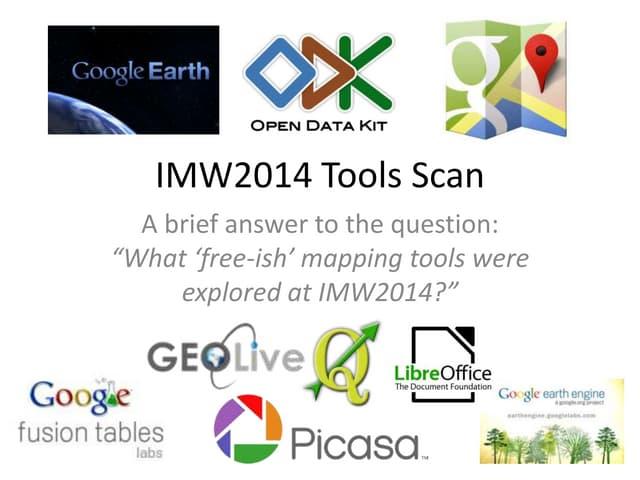
Presented at the Indigenous Mapping Workshop 2014
Outlines various mapping tools explored during the IMW2014 event, involving over 40 Indigenous communities and academic researchers in Canada. Key tools discussed include Google Earth for 3D mapping and occupancy studies, various Google Maps features for editing and creating cultural maps, as well as open-source options like Quantum GIS and geolive.ca. It emphasizes the importance of these tools in facilitating community mapping and storytelling, alongside mentions of collaborative initiatives to promote Indigenous mapping.
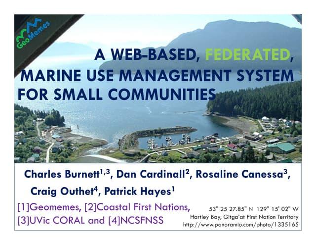
Presented at the 1st Barkley Sound Knowledge Symposium, Bamfield Marine Sciences Centre, 9-11 February 2010. More information available at http://www.westcoastaquatic.ca/barkleysymposium.
Authors: Burnett, C, D Cardinall, R Canessa, C Outhet, and P Hayes. Describes a proposed web-based marine use management system for small communities. [1] The system would allow First Nations bands and government proponents to enter marine planning proposal data and map their locations. [2] It would generate automated reports by querying internal and external spatial datasets. [3] The reports would include maps and tables to help local managers with marine planning and decision making. The goal is to provide access to up-to-date geospatial data while keeping local traditional knowledge securely within communities.