Teams led — Service innovation delivered.
Project highlights
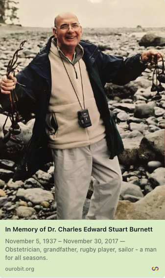
Privacy‑First Memorials — OurObit.org
as CB & Associates
A privacy-first platform for families to create, manage, and share obituary memorials — with dignity, useful features, and control over who can see them.
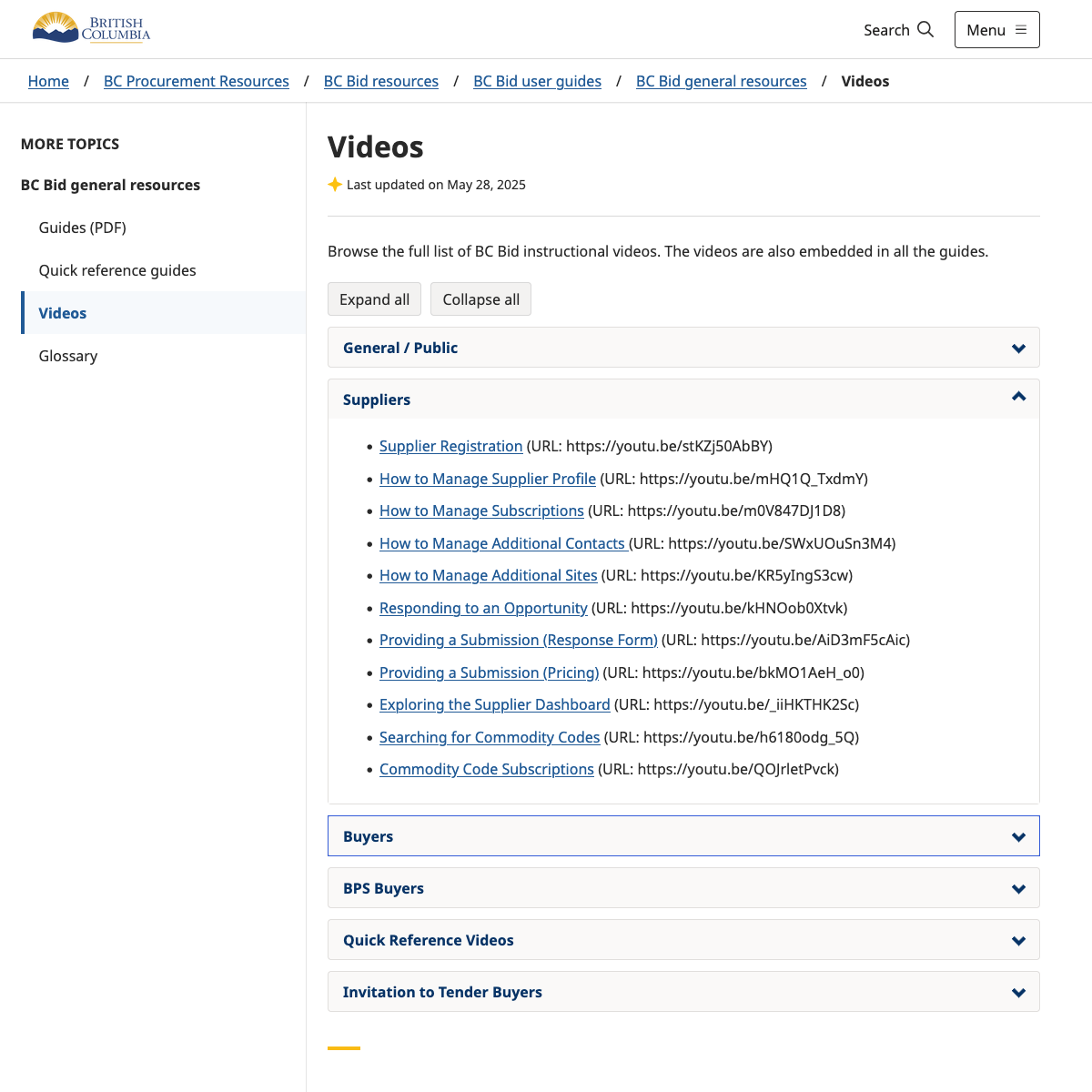
BC Bid Replacement 2020-2022
as Public Servant
Supported the new BC Bid launch, built on top of iValua Software as a Service (SaaS) procurement platform, to replace the previous BC Government procurement system.
CEED - Community Energy and Emissions Database
as Public Servant
Part CRM, part Grants Management tool. Bringing hundreds of past and current clean energy funding applications together into a database.
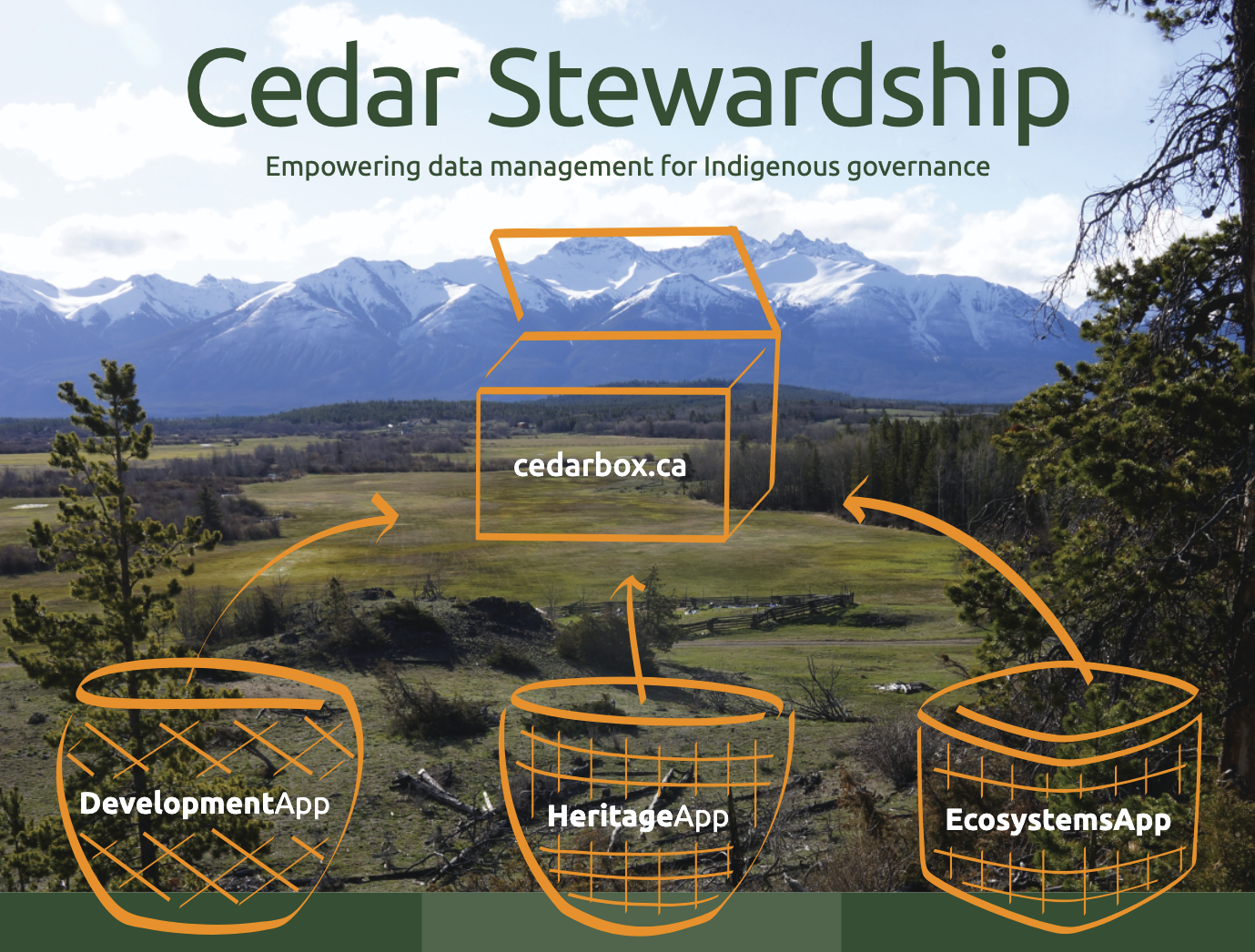
Cedar Box Apps
as GeoMemes Inc Owner & Team Lead
A secure integrated web-based application for (1) promoting Stewardship Office team collaboration and (2) managing consultation, heritage, fieldwork and GIS data – all to protect and promote First Nations cultural revitalization and economic development. The Cedar project is now maintained and extended by Mighty Oaks.
Manitoba Burn App Prototype
as GeoMemes Inc Owner & Team Lead
Developed a prototype map-enabled crop residue burnpermit system. Manitoba Government representatives issue hundreds of permits every year to control the timing of crop residue burning so that smoke does not obstruct public roadways or create problems for neighbouring residents.
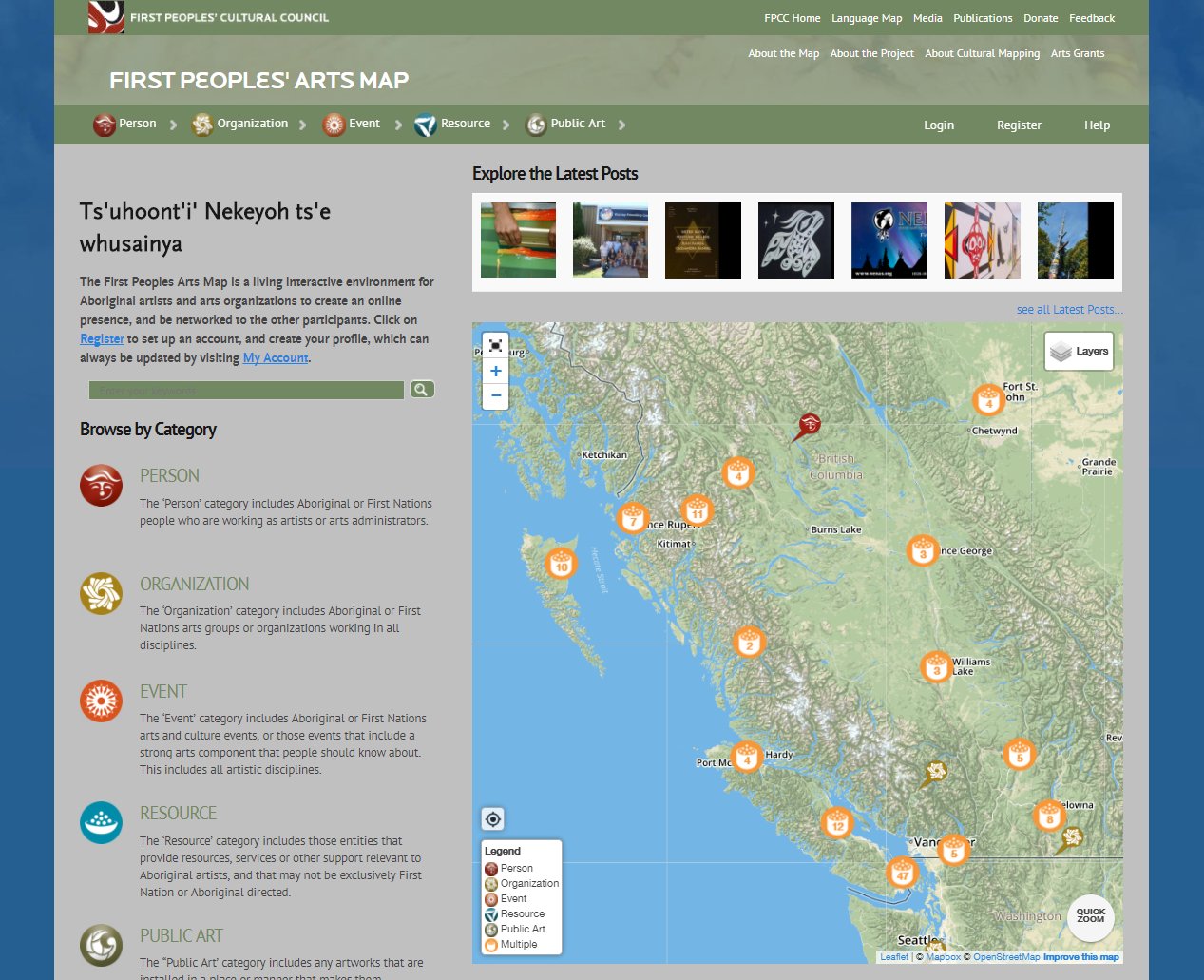
First Peoples’ Arts/Languages Map
as GeoMemes Inc Owner & Team Lead
Designed and developed an interactive map platform for the First Peoples’ Culture Council to help communities, educators, and the public discover and explore Indigenous arts and cultural initiatives across British Columbia.
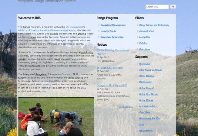
IRISBC Range Information Portal
as GeoMemes Inc Owner & Team Lead
In this 24 month project, led by range ecologist Allen Dobb, I designed and developed a secure map-enabled portal for exploring and maintaining a rich range management knowledge base for BC Provincial government staff.

Peace Forage Tool
as GeoMemes Inc Owner & Team Lead
A web-based decision support tool to help forage producers and re-vegetation specialists select appropriate forage species for their seeding projects.
Cumulative Openings and Retention Analysis for BC Forest Practices Board
as GeoMemes Inc Owner & Team Lead
Developed ArcGIS Python scripts for a regional assessment of retention areas versus cumulative openings in mountain pine beetle affected areas in central British Columbia.
Other completed projects
- Haida Traditional Ecological Knowledge Explorer – De-canted a large ArcGIS geodatabase into a secure local geodata explorer build using PostGIS, GeoDjango and Python).
- Health Spaces ‘Community of Practice’ portal for BC Provincial Health Services Agency – Developed a prototype community of practice portal for remote BC health staff to share resources and connect with each other. The portal was built using Drupal and included features such as discussion forums and resource libraries.
- New Relationship Trust Grants Map – Developed a secure web-based mapping application to help the New Relationship Trust visualize and analyze their grant data, using Drupal.
- First Peoples’ Culture Council Interactive Language Map – Developed a interactive web-based map to help the First Peoples’ Culture Council visualize and share information about Indigenous languages in BC, using Drupal and Leaflet.js.
- First Peoples’ Culture Council Language Survey Tool to Support Granting – Developed a web-based survey tool to support language grant applications for the First Peoples’ Culture Council, using Drupal and custom form components.
- First Peoples’ Culture Council BC Places Audio Map App (Android App proof of concept) – Developed a proof-of-concept Android app to provide audio-based navigation and information for BC Places, using Drupal as the backend.
- Union of BC Indian Chiefs (UBCIC) Specific Claims Online Training (Course) – Developed an online training course for the Union of BC Indian Chiefs (UBCIC) to educate their members about specific claims processes, using Drupal and custom e-learning components.
- Cartography and Climate Impacts Writing – Developed maps, geo-statistics and presentations for Climate Adaptation Reports for Agricultural Producers.
- Cumulative Openings and Retention Analysis for BC Forest Practices Board (2008) – Developed ArcGIS-based analysis and mapping of cumulative openings and retention for the BC Forest Practices Board, using ArcGIS and Python scripting.
- Xeni Gwetin GIS Basemaps & Training (2007-2010) – Developed custom GIS basemaps and provided training for Xeni Gwetin First Nation land management applications.
- UVIC CORAL Laboratory Touch Tables and Video Wall – Developed a custom interactive touch table application for the University of Victoria's CORAL Laboratory. The application allows users to explore marine data and research through an engaging, interactive interface. The touch tables and video wall were designed to enhance the user experience and provide a dynamic way to visualize complex data sets.
- Community Green Map - Highlands Community Tourism Wall Map – Developed a large format tourism poster map for the District of Highlands.
- Community Map - University of Victoria Community Poster Map & Online Map – Developed a community poster map and an online map for the University of Victoria, using Drupal and custom mapping components.
- Community Green Map - Squamish Seniors Community Poster Map – Developed a community poster map for the Squamish Seniors, using GIS and design software.
- First Nations Fisheries Council Regions Drafting – GIS data processing.
- Dzawada̱ʼenux̱w First Nation Land & Marine Use Plan – Developed a land and marine use plan for the Dzawada̱ʼenux̱w First Nation, using GIS and spatial analysis to support sustainable land management practices.
- Community Green Map - VicWest Community Visions Poster Map – Developed a community poster map for the VicWest Community, using GIS and design software.
- Community Green Map - Port Renfrew Community Visions Map & Report – Developed a community poster map and report for the Port Renfrew Community, using GIS and design software.
- City of Victoria Community Asset Map – Developed a community asset map for the City of Victoria, using C+.
- First Nations lands legislation jurisdiction overlap analysis – GIS analysis and reports.
- Analysis of automated image analysis for forest change detection at regional versus stand levels (PhD research) – Developed a methodology for analyzing the effectiveness of automated image analysis techniques for detecting forest change at both regional and stand levels, using GIS and image analysis software.
- Analysis of data quality from airborne CASI for tree crown identification analysis in mountainous terrain (MSc research) – Developed a methodology for analyzing the quality of data obtained from airborne Compact Airborne Spectrographic Imager (CASI) for tree crown identification in mountainous terrain, using GIS and image analysis software.